

RIVER WALKOVERS
A crucial problem hindering the effective restoration of river connectivity is the large number of barriers to free flow that remain unknown to scientists, managers and decision-makers.
Although there are more than one million barriers in Europe, this estimate is conservative and there are probably many more obstacles fragmenting river connectivity that remain unmapped, unregistered and undiscovered. This data-incompletness poses a threat to effective connectivity restoration and barrier removal planning.
And, if we considering lateral barriers too (like levees, revetments), following the EU Nature Restoration Law, the degree of uncertainty is even greater, since these types of barriers have historically been disregarded in river connectivity restoration efforts.
River Walkovers Posts
As part of the project FREEFLOW, we will look into different strategies (remote sensing, spatial modelling) to improve the degree of data-completness of barrier maps and repositories. We will also evaluate ways of explicitely considering uncertainties in the number and spatial distribution of barriers for optimizing river restoration planning.
However, to compare models of fragmentation and test methods under varying degrees of data-completness, we need a trustworthy model to compare our results against – here come the River Walkovers. Through exhaustive in-person mapping and registering of barriers across entire river networks we can confidently assess the effectivness of strategies to reduce uncertainties in the number and distribution of barriers and measure how data-completeness affect planning and decision-making in river restoration.
Check out our River Walkovers trails on
Pictures from our River Walkovers
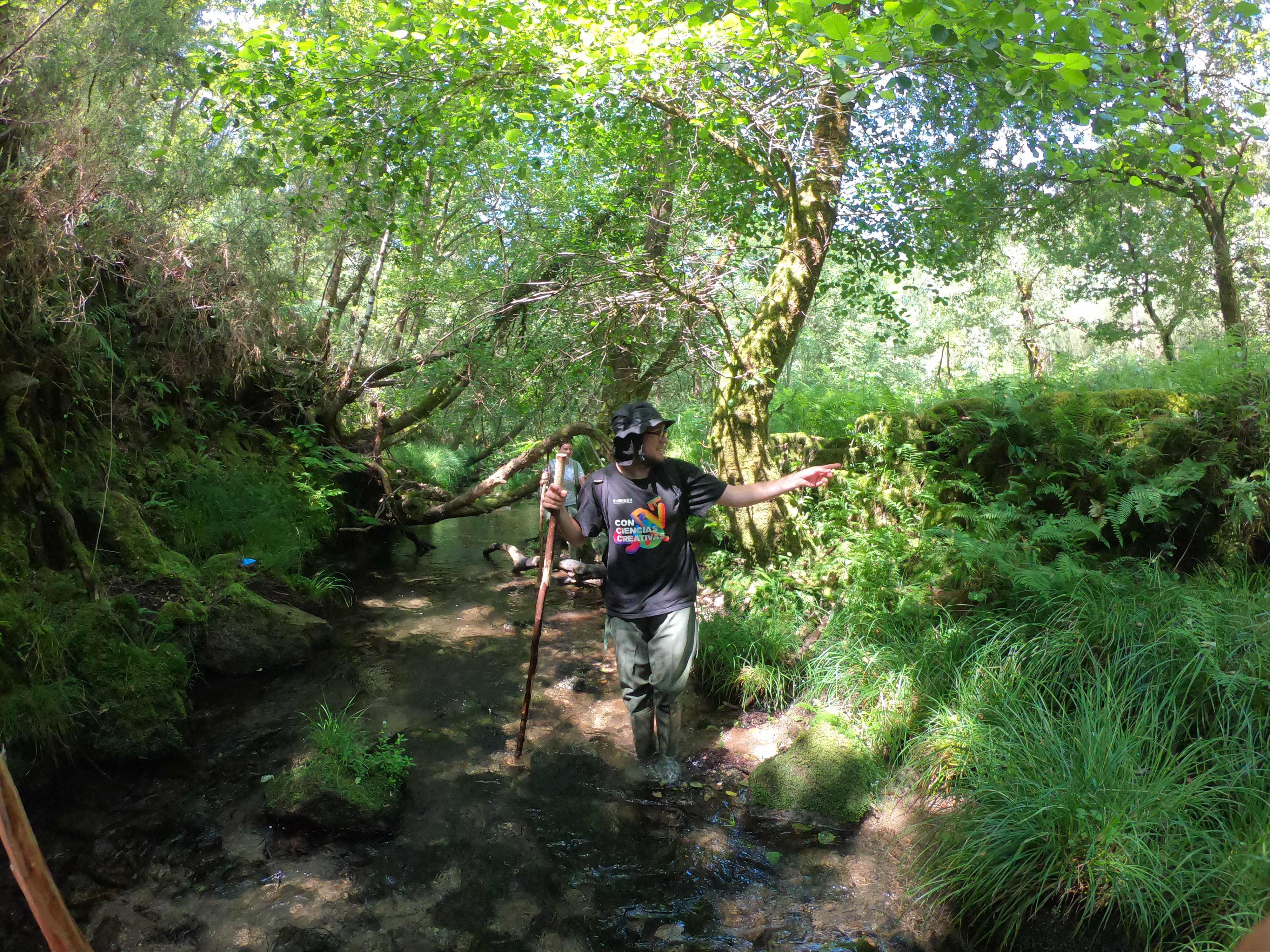
Gabriel points out to a lateral barrier 
Volunteers Smilla and Vanessa helping with the River Walkovers 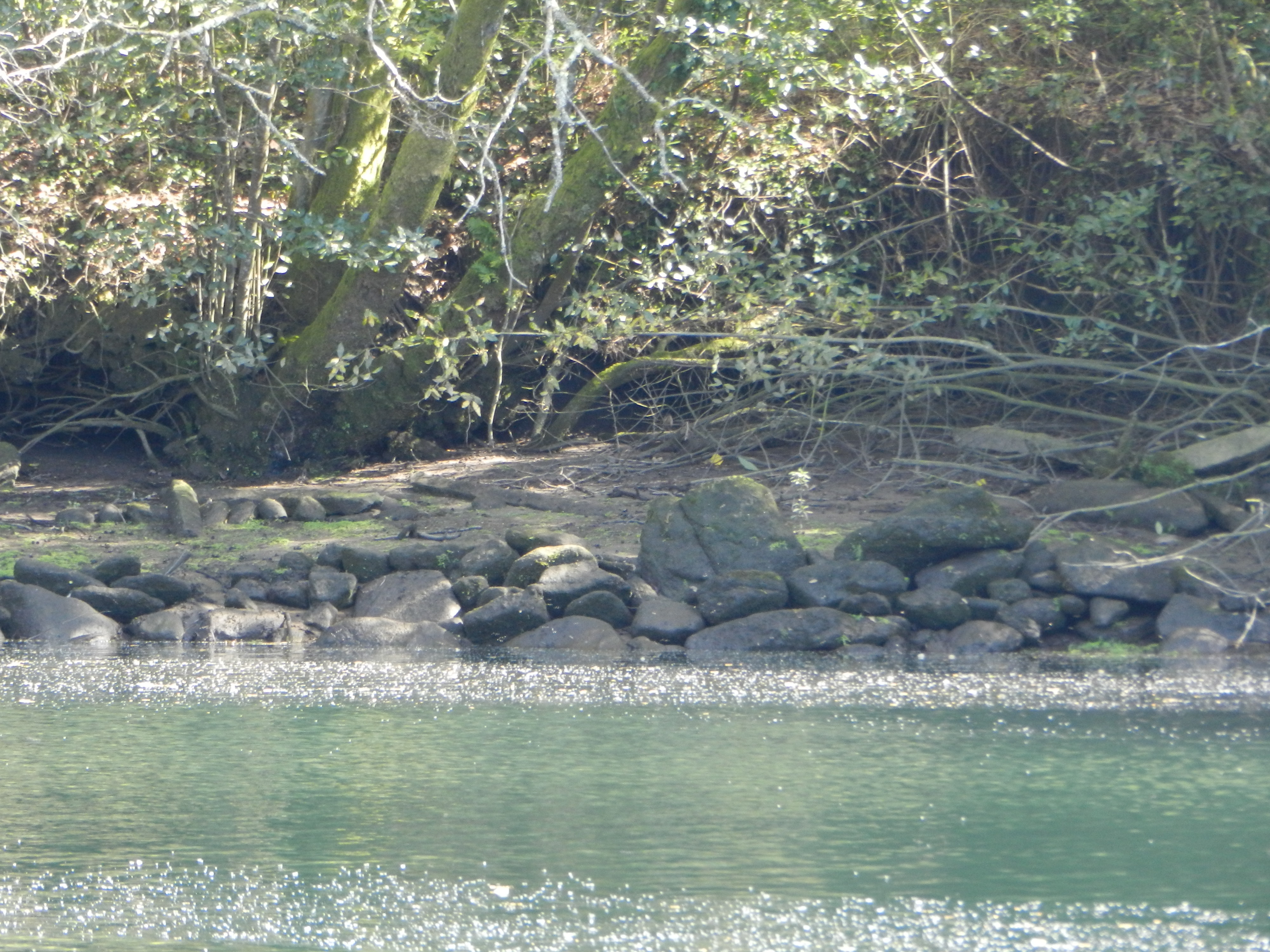
A stony bank revetment – a type of lateral barrier 
Lateral barriers 
Alba and Amaia recording a culvert A strech of free-flowing river in the Verdugo-Oitavén basin 
We used GIS tools to record and map barriers to free flow
